
Törökbálint environmental information system
A web based environmental portal for the staff of the municipality and for residents.
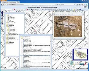
A web based environmental portal was built for the Mayor’s Office of the Municipality of Törökbálint. It makes the spatial information held by the municipality available both to its staff and to residents.
The system has the following content:
- land survey base map,
- zoning plans,
- geocoded address register,
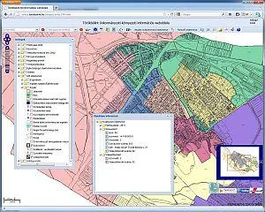
- boundaries of service districts (municipal and national electoral districts),
- digital orthophoto (0.5 m resolution, material of 2 years),
- street map (scale 1:10,000),
- environmental data (selective waste collection points),
- utility maps,
- digital elevation model.
The system offers structured data queries in a user interface similar to a desktop application, and links the other information sources available on the internet or intranet. Beyond querying, it also supports the maintenance of spatial data.
Its architecture is unusual in that it integrates the different data sources for the user through standard XML web services. This also means that, with the right permissions, the data can be displayed in desktop GIS software too, which widens the user base. Access to the spatial data is provided by web map server software. From desktop GIS software, the map content that appears on the portal can be published or updated without programming. The thin client running in the browser is based entirely on open source technology.
The map display can be customised, and thematic symbol sets were developed for the different client needs, which show the information needed for a given workflow besides the basic functions.
Let us talk about your project
If one of our solutions interests you, or you have a special requirement, write to us or call our colleagues.
Contact