
National and local GIS systems, built around the user
The owners of ViaMap Ltd. have long experience in developing national and local GIS systems, which lets us keep user needs in focus and build systems that fit them. Besides GIS development, our main services are the design of hardware, software and database systems, consulting, training and data processing.
Products
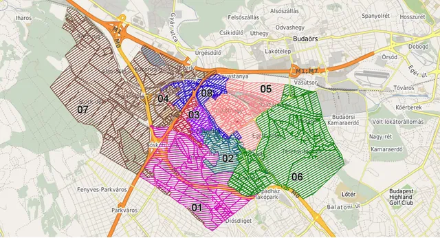
ViaMap GeoSuite
A scalable GIS platform built on open source software and open standards, for corporate spatial data.
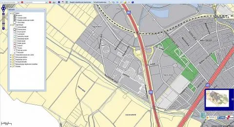
Városgazda municipal GIS
A map based online system that supports the daily work of municipalities.
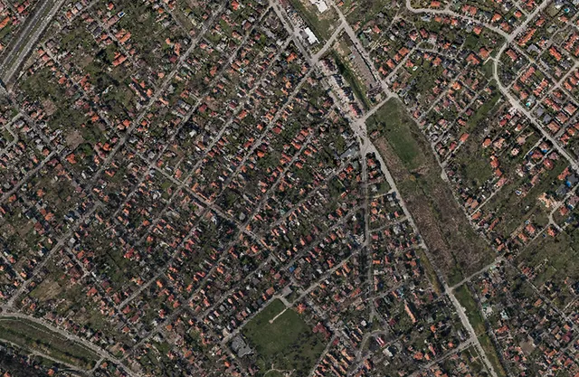
Easy orthophoto
Orthophoto quality products from commercial camera images and from UAV and aircraft imagery.
Solutions
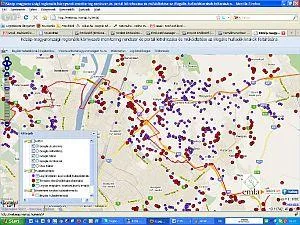
Illegal waste dump mapping
Mapping the illegal waste dumps of Central Hungary and monitoring them with the community.
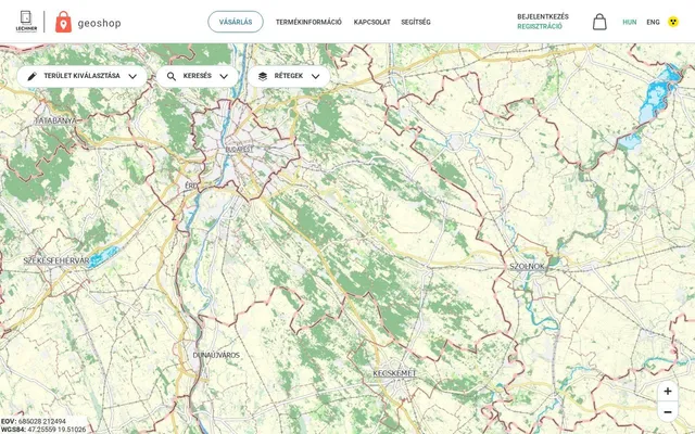
Geoshop.hu
The GIS web shop of the Lechner Knowledge Center, where official spatial data can be bought and downloaded.
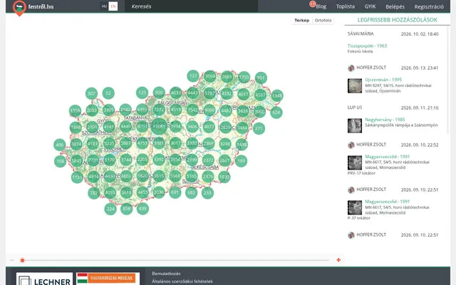
Fentrol.hu
A browsable archive of historical aerial photographs where visitors can georeference and comment on the images.
Geomarketing analyses
Supporting business decisions with spatial analysis, from catchment areas to purchasing power.
Labour market analysis system
Labour market data of border regions shown on maps with charts and thematic maps.
Törökbálint environmental information system
A web based environmental portal for the staff of the municipality and for residents.
Maritime traffic analysis
Analysis of the ship traffic of the world's seas with a PostgreSQL and PostGIS based system.
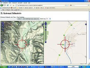
Second Military Survey map
The maps of the Second Military Survey shown together with Google maps.