
Easy orthophoto
Orthophoto quality products from commercial camera images and from UAV and aircraft imagery.
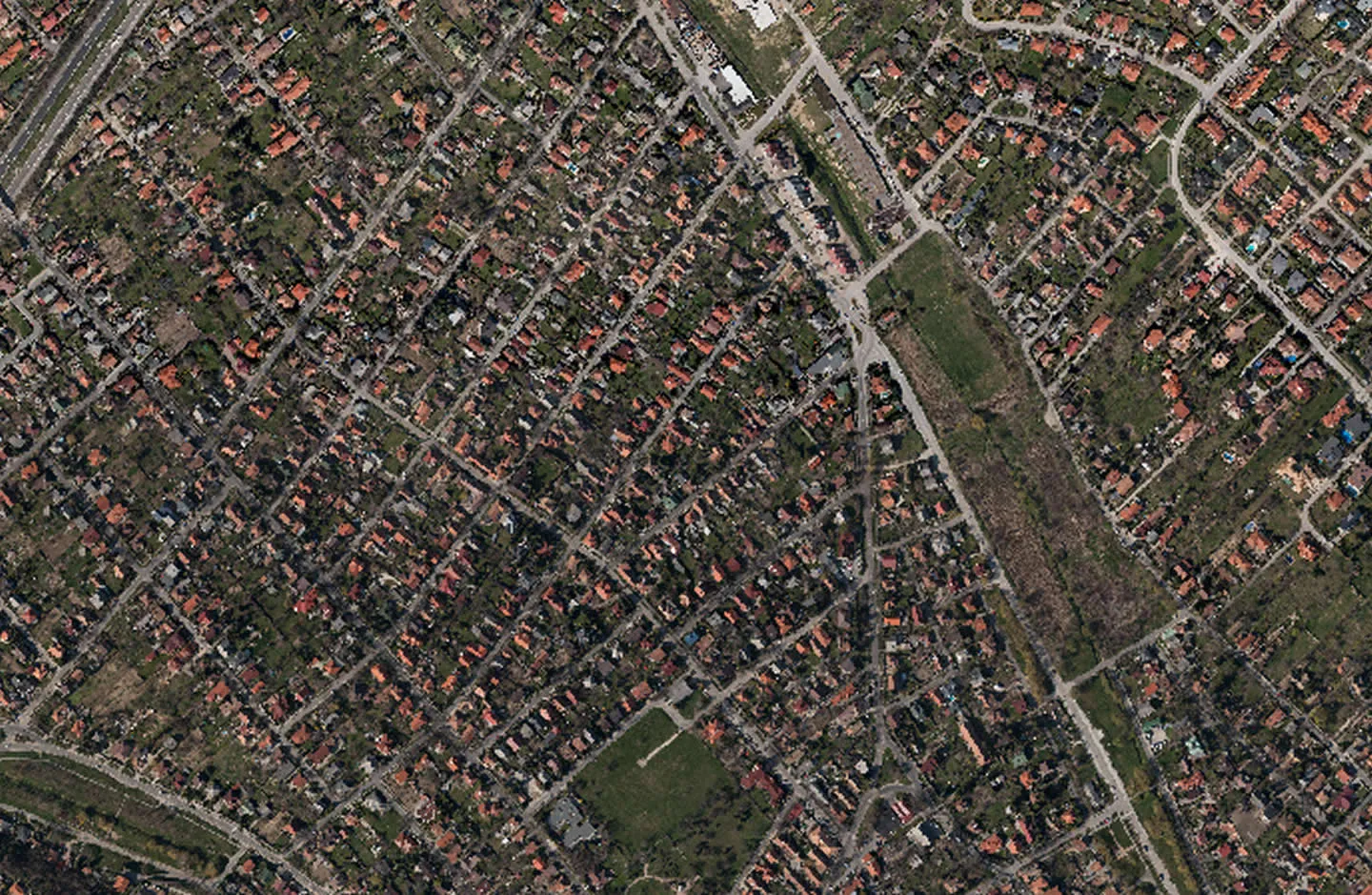
ViaMap Ltd. works with Digitalis Kft. in the field of photo mapping as well.
The software we use can produce orthophoto quality products from images of commercial cameras, with an operator of average professional background. APS can also process data from UAV/UAS systems and piloted flights.
We used this software to make the orthophoto of the town of Törökbálint, with 36 megapixel images from a Nikon D800 camera. The flight was done with a small Cessna aircraft, with the camera in a specially built box mounted on the wing strut. Digitalis Kft. also developed a navigation module for the system, which helped the pilot hold the heading and fly the flight plan with the right quality.
There were more than 3200 images of 36 megapixels. Processing with APS took about 5 days.
How we can help
We can collect data very quickly for GIS purposes, evaluate the results in a short time and publish them to the right audience. The software used (APS) is a dynamically developing tool, and its developers try to take users’ ideas and requests into account as far as possible.
If this solution interests you, or you have a special requirement, write an email to info@fototerkep.hu or contact us using our contact details.
Downloads
Let us talk about your project
If one of our solutions interests you, or you have a special requirement, write to us or call our colleagues.
Contact