
Fentrol.hu
A browsable archive of historical aerial photographs where visitors can georeference and comment on the images.
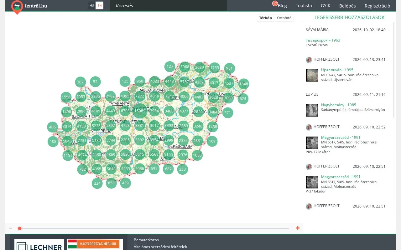
Fentrol.hu gives the public access to part of the photographs held in the aerial film archive of Lechner Nonprofit Kft. The archive holds almost half a million aerial photographs taken between 1959 and 2008. More than 280,000 scanned images are now available online, and the digital archive grows by about ten thousand photographs every six months.
The site was developed by ViaMap Kft., which also operated it earlier.
What the site does
- Map browsing. Photographs are grouped by location on the map of Hungary and can be opened one by one when you zoom in. You can switch between the base map and the orthophoto.
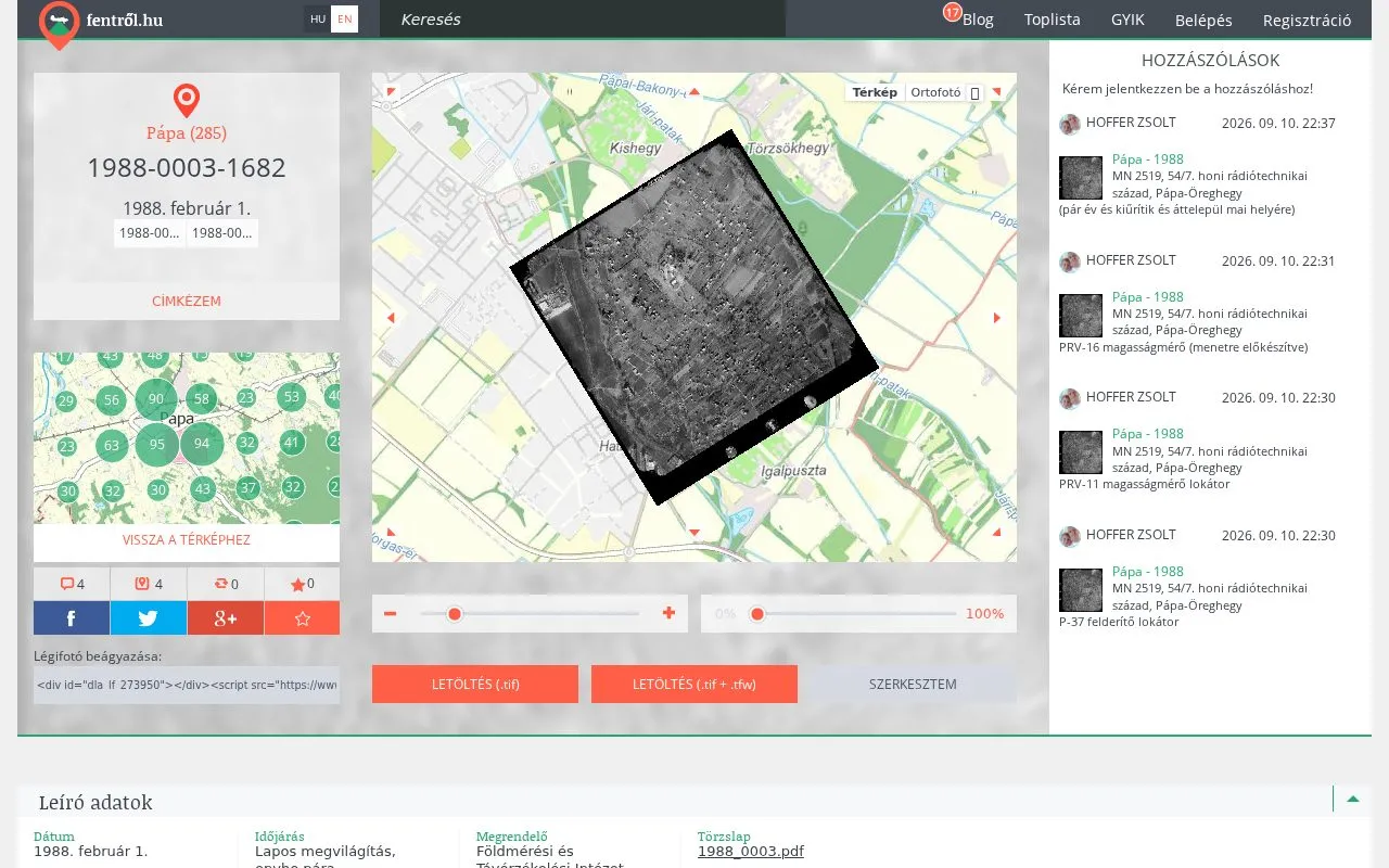
- Georeferencing. Visitors can fit an old photograph onto today’s map and adjust its transparency, so the change over time is easy to follow.
- Comments and tags. Anyone can comment on an image and mark the places and objects they recognise, which adds new information to the archive photographs.
- Download. Photographs can be downloaded as TIF, together with the georeference file (TFW).
- Points game and leaderboard. Contributions are encouraged by a points game and a leaderboard.
- Bilingual interface. The site is available in Hungarian and English.
Let us talk about your project
If one of our solutions interests you, or you have a special requirement, write to us or call our colleagues.
Contact