
Geoshop.hu
The GIS web shop of the Lechner Knowledge Center, where official spatial data can be bought and downloaded.
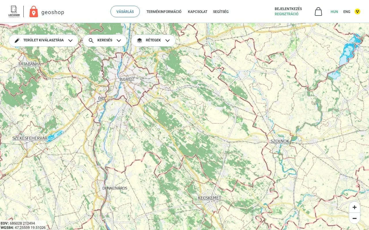
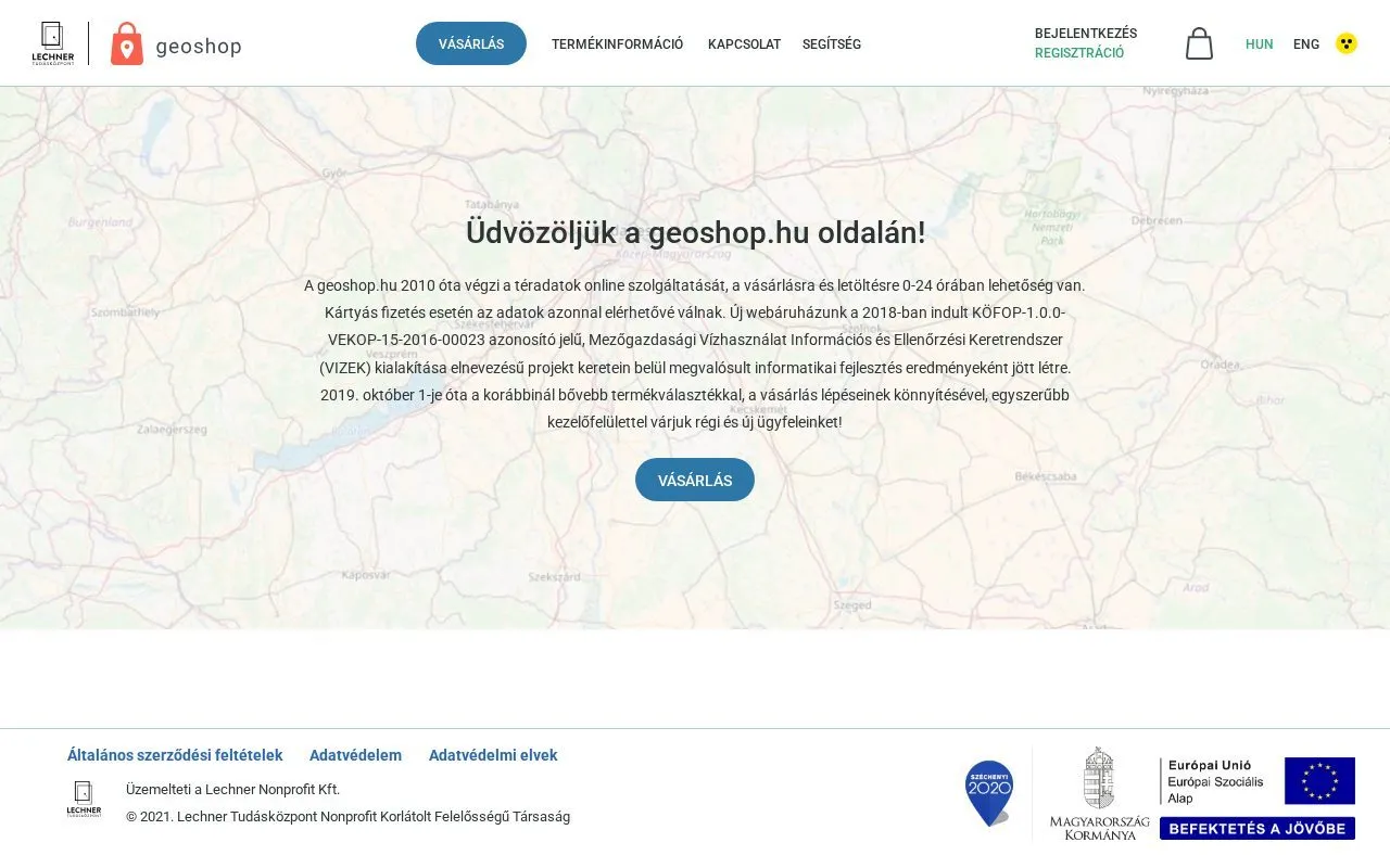
Geoshop.hu has been selling spatial data online since 2010, and purchase and download are possible around the clock. With card payment the data is available immediately. The site is operated by Lechner Nonprofit Kft.
The web shop was redesigned, and since 2019 it has run with a wider range of products, a simpler interface and easier purchase steps. ViaMap took part in developing the system and in the redesign of the site.
What geoshop.hu offers
Buying starts on a map. You can mark or search for the area you need and choose between layers. The available data sets are:
- orthophotos, with georeference files,
- administrative borders at country, region, county, district and settlement level,
- geodetic control points,
- CORINE land cover,
- cadastral data, meaning parcel boundaries and building outlines,
- topographic maps from 1:10,000 to 1:200,000,
- aerial photographs from 1959 onwards,
- gazetteer of geographic names,
- MePAR agricultural parcel data,
- elevation data, terrain and surface models and contour lines.
Let us talk about your project
If one of our solutions interests you, or you have a special requirement, write to us or call our colleagues.
Contact